
Protecting the Nutashkuan Innu First Nation Community Throughout Flood Events
Localized groundwater solution in Canada safeguards residents situated remotely along the St. Lawrence River
11 March 2022

Figure 1 – Google Earth image showing the Nutashquan River delta in the St. Lawrence River where the community resides.

Figure 2 - Outfall of the drainage system (summer time)

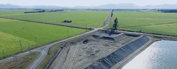
Figure 3 - Groundwater table conveyance system with geotextile grid installed underneath


Figure 5 – The chart shows the water table elevation in the Natashkuan Innu First Nation community from 2018 through 2020, the first year after completion of the lowering of the groundwater table (in December 2019). A major thaw and heavy rain occurred in the spring of 2017.


February 2024 | 6 Minutes
Storing water for when it’s needed through Managed Aquifer Recharge


September 2023 | 10 minutes
Making Every Drop Count: Redefining Water Efficiency in Agriculture


August 2023 | 13 minutes
