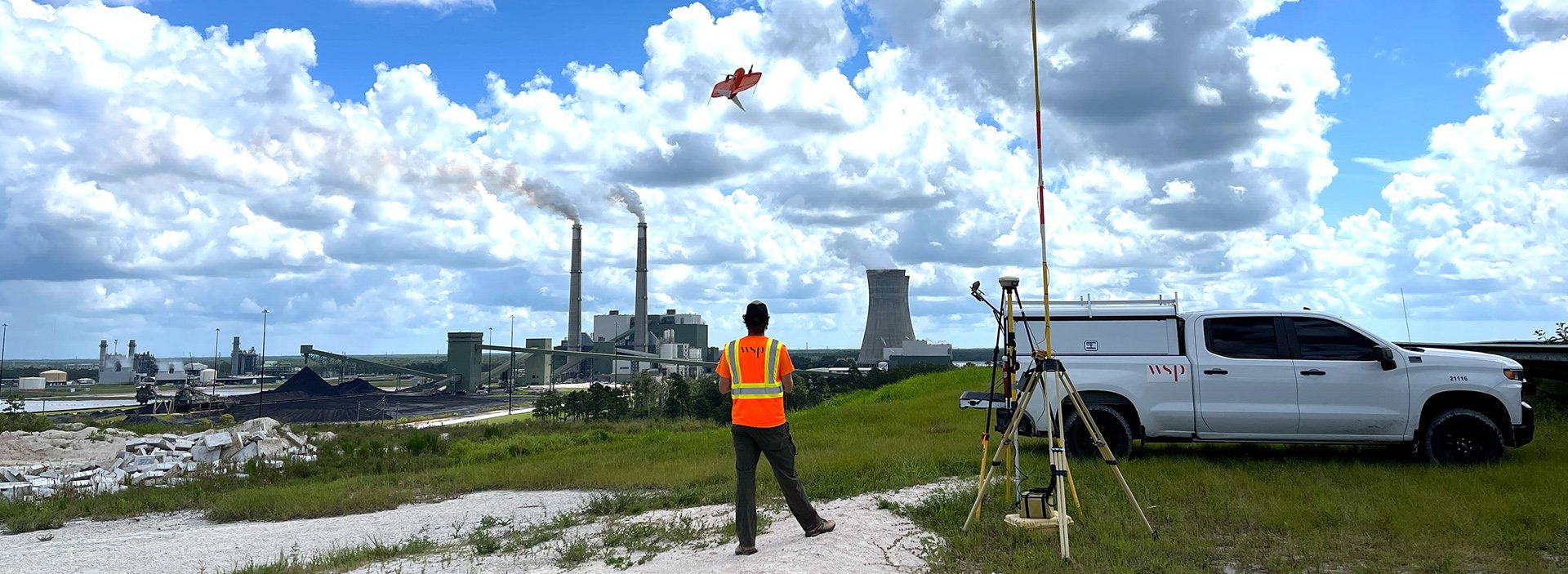
WSP Publishes Roadmaps for Effective Asset Management Strategies and Tools
Two reports provide details about agencies who are modernizing asset management to identify future maintenance costs, incorporate GIS into as-built documentation.
map marker
United States
|
Wednesday, July 24, 2024
Reading Time : 2:30 minutes
Reading Time : 2:30 minutes

David Sklar

Nick Smith
Related Publications

July 2024 | 5:00 minutes
Going for Gold: Preparing Transit for the Next Decade of Major Public Events

July 2024 | 3:45 minutes
Preserving Suspension Bridges through Dehumidification


June 2024 | 0:59 minutes
New bridges will help keep NASA’s rocket parts rolling in Florida

June 2024 | 1 minute
In Motion Conversation Series: Passenger Rail Resurgence

June 2024 | 00:30 seconds
Fixed Fire Fighting and Emergency Ventilation Systems for Highway Tunnels

June 2024 | 2:00 minutes
Report: Building Information Modeling Improves Transportation Workflow Productivity
June 2024 | 3:15 minutes
Eyes in the Sky: Drones Deliver Exceptional Services for Clients

June 2024 | 4:45 minutes